39
october 2014
international
construction
SURVEYING
Technology uptake
have workedwith them to find solutions
that are as seamless as possible.
It’s a market that is growing – it is not
there in all parts of Europe yet, though
is something that is more important in
theUS.”
DroneSurveying
Having launched its own commercial
drone series this summer (the Sirius Pro
and Sirius Basic),Topcon is another
company verymuch at the forefront of
devising advanced surveying equipment.
IanStilgoe,Topcon’s geomaticsbusiness
unitmanager, said therehad alreadybeen
a strong response to its introduction of
drone technology, which he believed
would have broad application, alongside
a growing array of site-based digital
equipment.
He said, “Surveying has become very IT driven in recent
years.The construction business has been slow to catch upwith
technology, but it is getting there now.
“As an industry,we are always trying tomakeproducts that are
more user-friendly.This is especially the case as the surveying is
now very much about making sure that everyone has access to
all information relating to a job site- which is a big challenge.”
He added that the use of GPS into surveying and use of BIM
data in terms of plotting construction sites digitally had been
particularly influential over the past few years.
In his view, use of other advanced technology such as drones
could play a significant rolewithin the surveying sector.
He added, “Surveying has been operating drones for the past
few years now and they’re being used in topographical surveys
and for surveying quarries andmines.
“It’s a much faster process digitally than the tradition way of
doing it – saving anything up to 40% or 50% in terms of time.
It’s an area that will continue to develop.
“I think thatunderstanding the technology that is availableout
there and how to adapt it for the industry is another challenge
– as companies looking at anything new have to assess the risk.
It takes time to do that in terms of doing the analysis on the
returns that youwill get.”
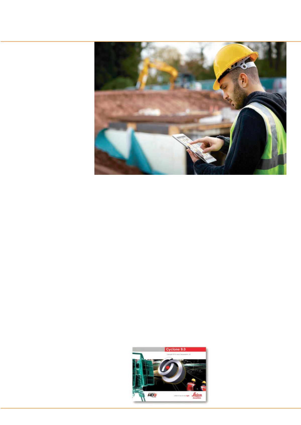
Trimble’s tablet app, theTrimbleContractorhas beendesigned
as a practical field tool to manage orders and construction
tasks electronically. According to the company, it will have
considerable benefits for those working in the field being
updatedwith project information.
The company’s LL300N surveying laser level is aiming to be
one of themost rugged products on themarket.
This fully automatic, self-levelling product is designed to
handle construction, concrete and site preparation applications
including general elevation control, levelling forms and footers,
concrete pours, excavations and basic slopes.
Featuring a glass lighthouse, the LL300N offers an IP66
environmental protection rating, which allows operation in
dverse environmental conditions, including rain, according to
the company. It also features easy, one-button operation for
basic levelling.
“Contractors need a simple to operate, tough construction
laser that is reliable and accurate day in andday out,” saidMike
Bank, general manager of Trimble’s precision tools business.
“The LL300N is the perfect tool formeeting those needs.”
For awider range of applications, the optional RC601 remote
control enables additional performance features including
single-axis slopemode andmanual slopematching capabilities.
Contractors can configure the LL300N to fit their
requirements. A variety of packages are available with a choice
of receiver and accessories, including a tripod and grade rod that
canfit in a system case.
Cloud-based solutions
Leica’sCyclone9.0point cloud solution forprocessing laser scan
data, has potential to improvemodelling of construction sites.
It has been designed to benefit both field and office via faster,
and easier scan registration, plus quicker deliverable creation
thanks to better 2D and 3D drafting tools and steel modelling.
Cyclone9.0allowsusers to scaleeasily for larger,morecomplex
projects while ensuring high quality deliverables.
With cloud-to-cloud registration, users can accurately execute
laser scanningprojectswithout having tophysicallyplace special
targets around the scene, scan them, and model them in the
office.
With cloud-to-cloud software, users take advantageof overlaps
among scans to register them together.
Dr. Chris Thewalt, Leica vice president for laser scanning
software said, “The cloud-to-cloud registration approach has
delivered significant logistical benefits onsite and time savings
formany projects.
“We’ve constantly improved it, but
the new automatic scan alignment and
visual registration capabilities inCyclone
9.0 represent the biggest advancement
in cloud-to-cloud registration since we
introduced it,”
Trimble’s contractor tablet
app is deesigned for use on
construction sites.
Leica’s cloud solution for laser scan
data, the Cyclone 9.0 is the company’s
latest digital offering.


